Maps
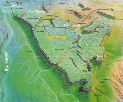
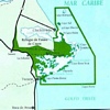
The Canaima national park can be divided in two very different zones.
West
This is a tropical forest region with no roads. All transportation is done by air. To the North, you can see the Canaima Lagoon. Notice also the Angel Falls (Salto Angel) that come from the Auyantepuy
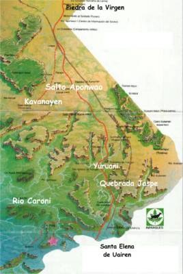
East Side
This is the plain region, with a paved road that goes from North to South, reaching Santa Elena de Uairen and continuing to Brasil.
Ver además
| Map of Mochima - Map of Mochima. Geographic location |
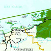
Map of Venezuela - Detailed Map of Venezuela | |
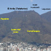
| Avila Interactive - This map allows you to quickly choose a destination or a route in the national park of Avila and visit it in Venezuelatuya |
| Map of Los Roques - Map of Los Roques |
|
Fin Espacio Publicitario